New Publication
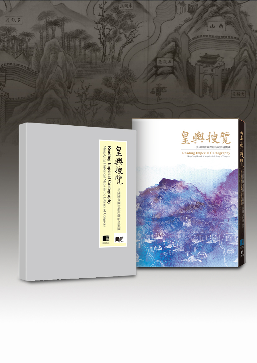
Reading Imperial Cartography: Ming-Qing Historical Maps in the Library of Congress
皇輿搜覽 - 美國國會圖書館所藏明清輿圖
The bi-lingual annotated atlas contains 157 pre-1900 historical Chinese maps from the Library of Congress. The maps selected for the book are either of academic significance, made with exquisite craftsmanship or rare to be seen among the collection institutes. They are organized into 9 categories: (1) general maps (2) local administrative maps (3) flood control and embankment maps (4) military and traffics maps (5) city maps (6) political and boundary maps (7) maps of temples, palaces and royal gardens (8) maps of social and economic conditions (9) mixed-theme maps.
The book is published in both in English and Chinese. The contents include preface, introduction, map descriptions, and an appendix of the historical Chinese maps collected in the Library of Congress. Each map description contains the bibliographic information, notes on the map content and a reference for relative study. Part of the Chinese maps housed in the Library of Congress used to be imperial collection, but were scattered into other countries at the end of the Qing dynasty.
The publication is carried out by Academia Sinica Digital Center as a continuing effort to further expand the outcome of the Taiwan e-Learning and Digital Archives Program (TELDAP) which ended in 2012. This publication project derived from a sub-project under the "International Collaboration and Promotion of TELDAP", titled "Searching for the Qing Court Maps - The Digital Program of Seeking the Scattered Chinese Historical Cartography."
Purchase Information
The Sihfen Bookstore
Basement of the Center of Academic Activities
128, Academia Road, Section 2, Nankang, Taipei 11529, Taiwan
Hours: 10:30 - 19:30 Monday through Saturday.
Tel: 2783-9605
